Skip to content
Log in
Register
Collections
Maps & Aerial views
101
items
1
2
Page 1 of 2
Search within
By field
By location
By folder / collection
By your searches
Select all
Toggle selected
Clear selected
Share
Details
More
Details
Export data
Item type
Any
Any
Digital Item
Collection Item
Folder Item
Sort
Best match
Date of upload (Most recent first)
Date of upload (Most recent last)
Title (A - Z)
Title (Z - A)
Thumb
20
50
100
576
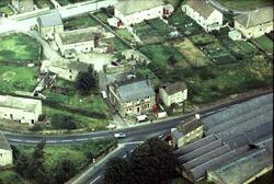
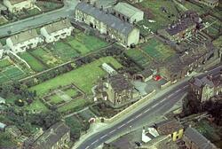
002 Main St Craven Heifer 1966 aerial
562
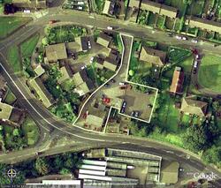
002 Main St Craven Heifer 2010 aerial
2824
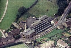
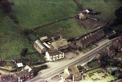
007 Main St Townhead Mill 1966 Aerial - Townhead
2810
007 Main St Townhead Mill 2005 Trading Est. aerial
2811
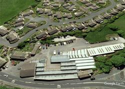
007 Main St Townhead Mill 2009 aerial
3591
046 Main St 1964
641
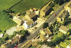
051 Main St the Sailor 1966 aerial
635
051 Main St The Sailor 1980 aerial
590
154 Main St The Fleece 1964 aerial
3548
156 Main St 1964
2026
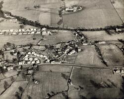
1950s Aerial view Church St area
1248
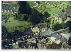
87 Main St 1966 Walton's Mill aerial
4346
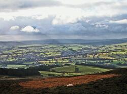
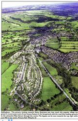
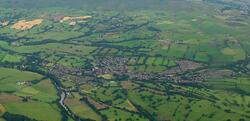
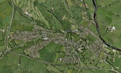
Addingham from Beacon
2565
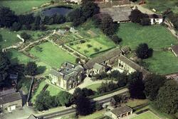
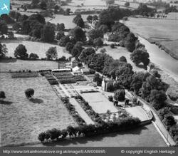
Aerial - Old Rectory 2005
2755
Aerial Old Station Fish Restaurant & Takeaway 1980
2774
Aerial Old Station Way 1966 - Barcroft Shed &
445
Aerial Reynard Ing Farm 1990s
726
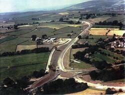
Aerial Roads 1990 Bypass construction
3032
Aerial Sugar Hill 1990s
3052
Aerial The Green 1930
2837
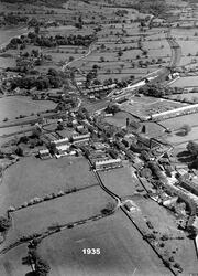
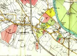
Aerial view of Addingham in 1935
2833
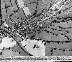
Aerial view of Addingham in 1935 - From west
2831
Aerial view of Addingham in 1935 - From west -
2835
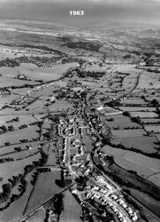
Aerial view of Addingham in 1960 approx
2836
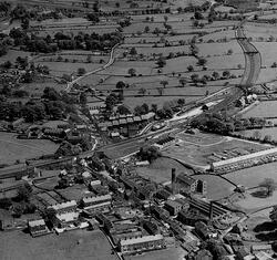
Aerial view of Addingham in 1963
2840
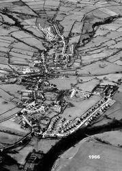
Aerial view of Addingham in 1966
2838
Aerial view of Addingham in 1966 - Church St
2841
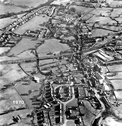
Aerial view of Addingham in 1970
2839
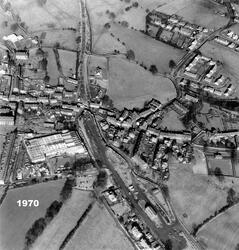
Aerial view of Addingham in 1970 - former railway
2843
Aerial view of Addingham in 1971 - eastern end
2842
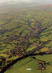
Aerial view of Addingham in 1985
2844
Aerial view of Addingham in 1997
2845
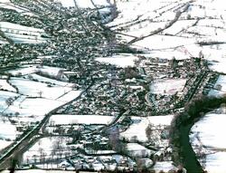
Aerial view of Addingham in 2000-12-30 in snow
2848
Aerial view of Addingham in 2003
2830
Aerial view of Addingham in 2009 - Townhead area
2846
Aerial view of Addingham in 2009 - Townhead area
2851
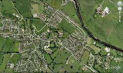
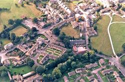
Aerial view of Addingham in 2009 Church St
2847
Aerial view of Addingham in 2009 featuring Main
2849
Aerial view of Addingham in 2009 featuring Main St
2854
Aerial view of Addingham in 2009 from west
2850
Aerial view of Addingham in 2009 Main St
2852
Aerial view of Addingham in 2009-07-14
2853
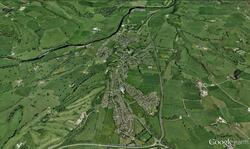
Aerial view of Addingham in 2011
2855
Aerial view of Addingham in 2011
2856
Aerial view of Addingham in 2011
2857
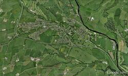
Aerial view of Addingham in 2017
10898
Aerial view of High House area 1990's
2832
Aerial view of Ilkley
438
Bark Lane 2006 Aerial
1500
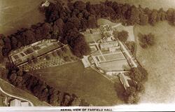
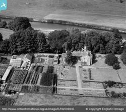
Bolton Rd Farfield Hall 1930s
3080
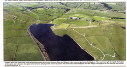
Chelker 2005 Aerial
2609
Church Street - Adelaide Nursery aerial
799
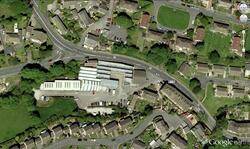
First School 1990s aerial
842
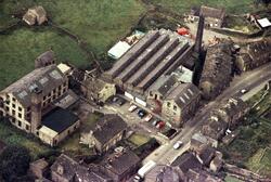
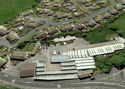
High Mill 1990s aerial
904
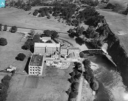
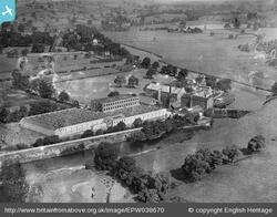
Low Mill 1928 aerial 01
6415
Low Mill 1928 aerial 01
912
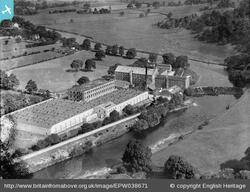
Low Mill 1932 aerial 01
913
Low Mill 1932 aerials 02
914
Low Mill 1932 aerials 04
915
Low Mill 1932 aerials 05
918
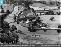
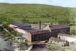
Low Mill 1938 - aerial (Colorised)
863
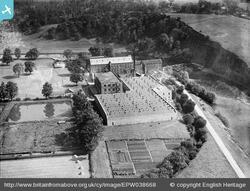
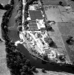
Low Mill 1986
2557
Low Mill Lane 1947 Holme House aerials_002
2556
Low Mill Lane 1947 Holme House aerials_005
2982
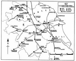
Map - Roman Yorkshire
2978
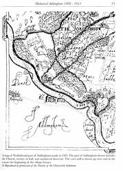
Map 1585 Nesfield and part of Addingham
2979
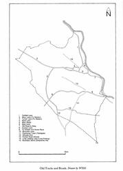
Map 1600s Old tracks and roads
2980
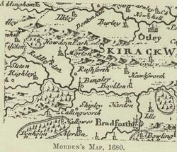
Map 1680 by Morden of Bradford Ilkley area
2981
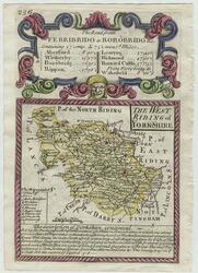
Map 1720 of West Riding
2984
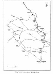
Map 1750 of village tracks and roads - Boundaries
2983
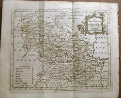
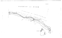
Map 1764 West Riding
2986
Map 1771 Village and surround
2985
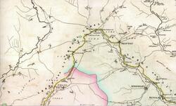
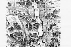
Map 1805 Addingham and Airedale
2988
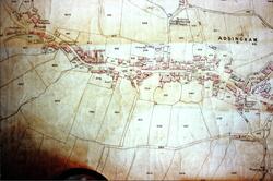
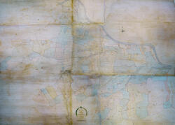
Map 1817 centre of village
10863
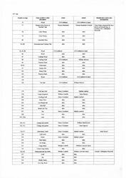
Map 1817 Key (field number order)
10864
Map 1817 Key (Owner order)
10862
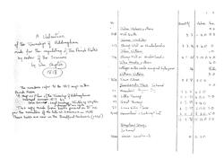
Map 1817 Township (Swire)
2987
Map 1830 featuring Bradshaw canal
2993
Map 1853 the village east part 1st OS series maps
2992
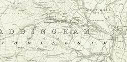
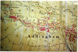
Map 1853 village & surrounds OS (good copy)
2996
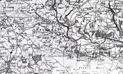
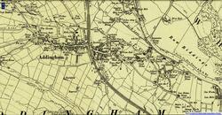
Map 1858-70 of village and surround OS
3003
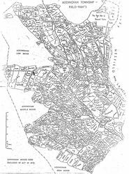
Map 1873 Field Names
3000
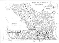
Map 1873 Field Names with gateposts marked -
3001
Map 1878 Colne Railway
3005
Map 1890 Wharfe
3002
Map 1890 Wharfe Addingham crop
3004
Map 1892 Bradford Corporation Waterworks
2989
Map 1900 of the village Second Series OS NLS
3007
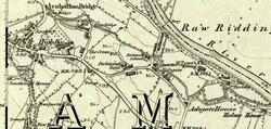
Map 1909
3008
Map 1912 Centre of village - Auction
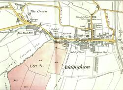
3009
Map 1912 Centre of village 02 - Auction
3006
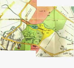
Map 1912 of High House area - Auction
3010
Map 1912 of High House area - Auction
3011
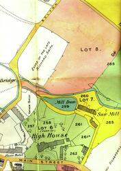
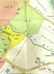
Map 1912 Sawmill area - Auction
3015
Map 1938 And Addingham High Moor 1938
3013
Map 1938 Silsden and Silsden Moor
3012
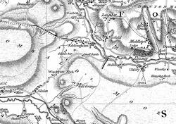
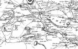
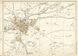
Map 1938 Skipton and surround
3014
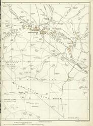
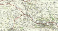
Map 1954 Addingham and surround
3016
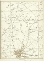
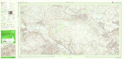
Map 1983 OS Keighley & Ilkley
9731
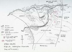
Map 1998 Stegholes field
1
2
Page 1 of 2
Open full page
Clear all
Search within
By field
By Label
By location
By folder / collection
By your searches
Export
More
Download
Print
Export data
Collection
Edit
Workflow